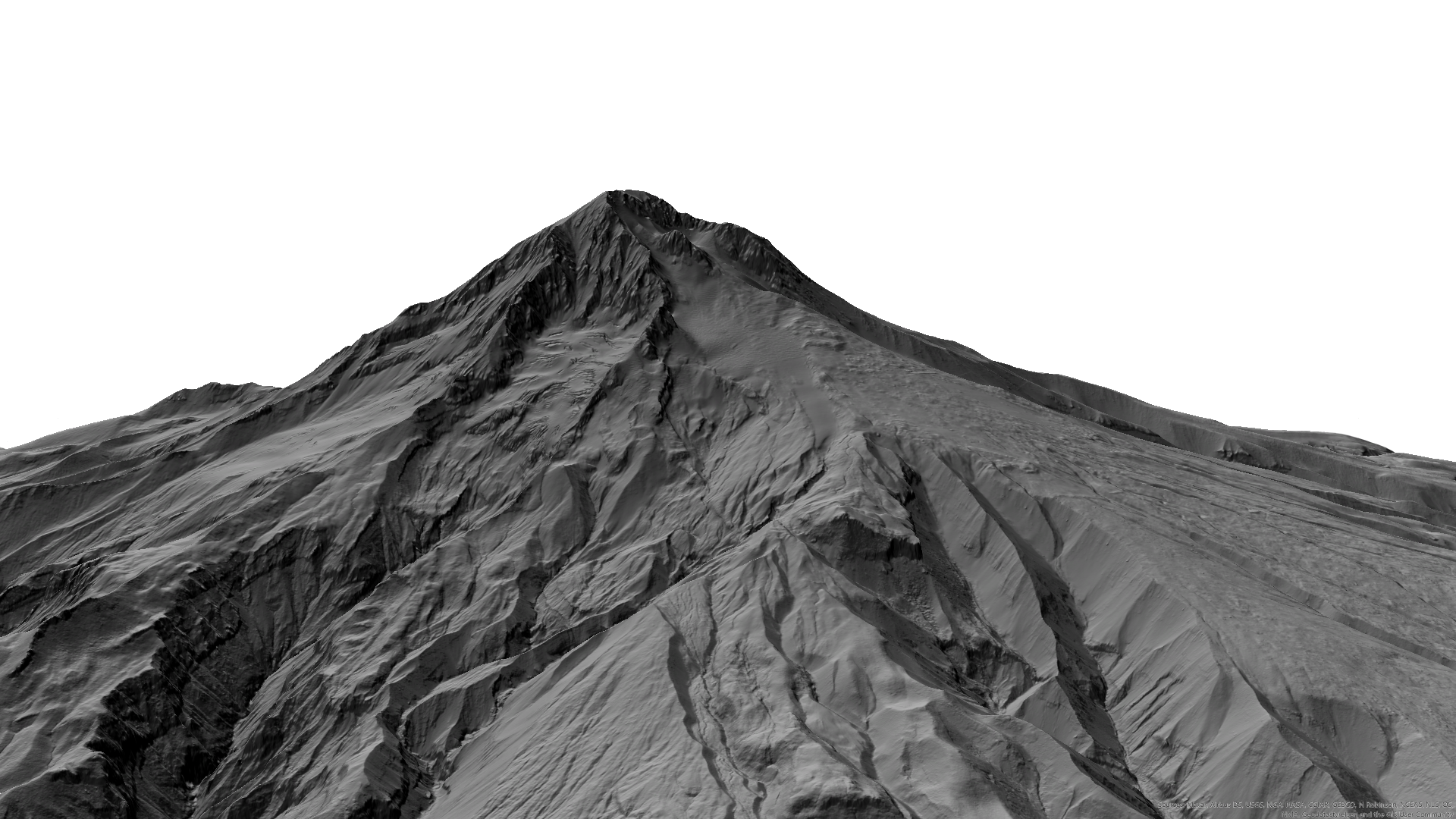
To create the image on Geospatial OE's home page, a digital elevation model was pulled from USGS's National Map Viewer into ArcGIS Pro. Blending modes were applied prior to converting the 2D model into 3D.
Known as Wy'east by the indigenous people of the Multnomah Tribe, Mount Hood is an active volcano about 70 miles east of Portland, Oregon, and is an iconic feature of the city.
Image credit this page and home page: 3D Model: J Frauman; DEM: U.S. Geological Survey, 2019, USGS 3D Elevation Program Digital Elevation Model, accessed 8 May, 2025.