The Tualatin Soil and Water Conservation District (TSWCD) was interested in having an interactive map to highlight the importance of farmland in Washington County, Oregon. Farmland often competes with residential and industrial development projects, such as new housing developments and data centers. The aim of this map is to provide a means for farmers in Washington County, Oregon to advocate for the importance of farmland and to emphasize the unique characteristics of the land that make it ideal for agriculture.
With this goal in mind, my colleague, Alex Clasen, and I developed an interactive map for TSWCD, utilizing the immersive capabilities of ArcGIS Experience Builder. In preparation for launching the interactive map, we completed the following:
- Collaborated with TSWC and interviewed farmers to ensure we captured the needed datasets
- Tracked down datasets on crop and land use, land capability classes for agriculture, farming supply and service locations, changing urban growth boundaries from 1978 to the present, and property tax lots.
- Created web maps for different layers and pages to use in Experience Builder
- Selected the tools that Experience Builder offers to put it all together
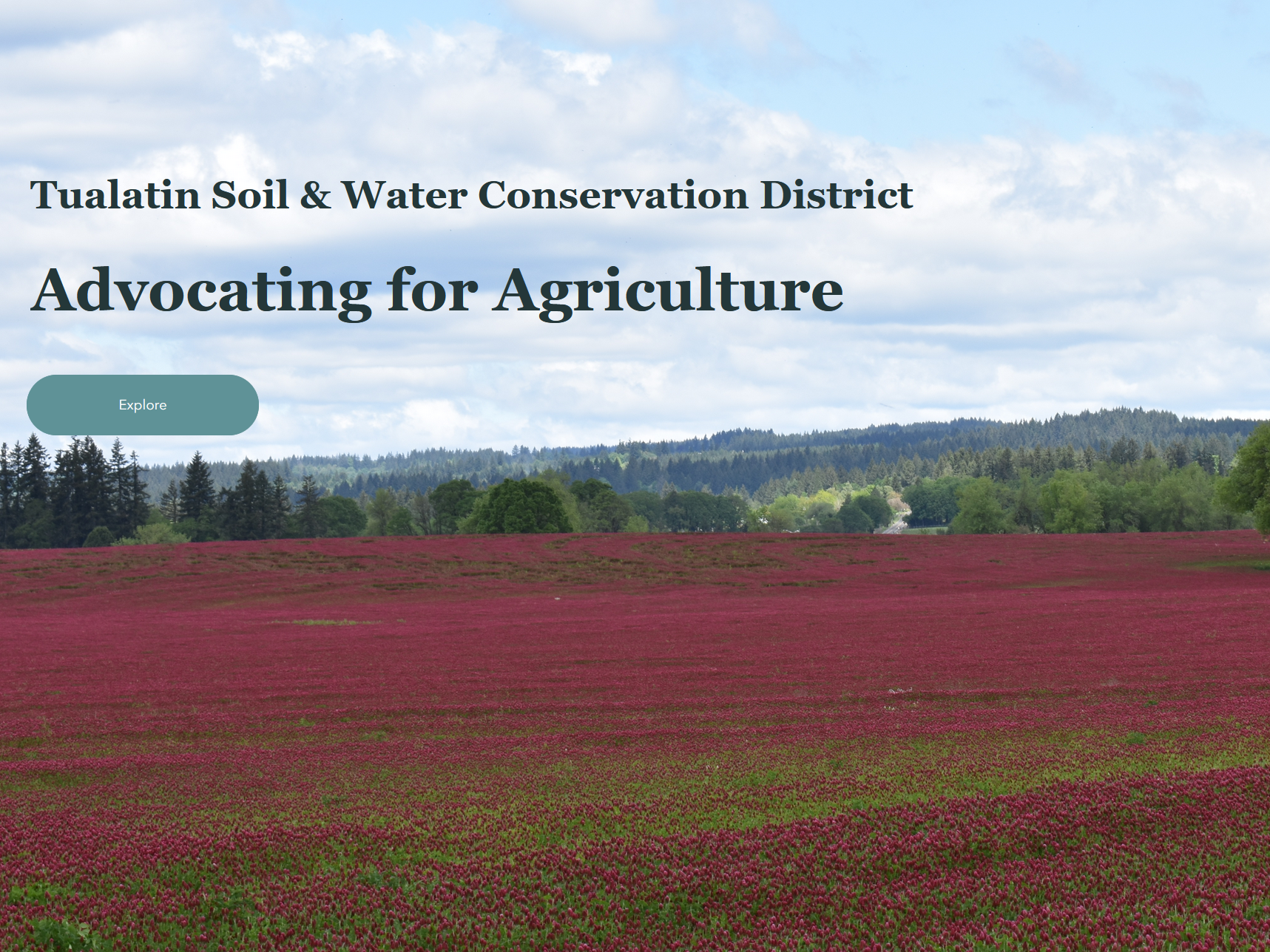
Click on the image to open the interactive map. Explore agricultural land and where it competes with urban growth in Washington County, Oregon.
Experience Builder created by A. Clasen and J. Frauman, with input provided by S. Strand of Tualatin Soil and Water Conservation District.